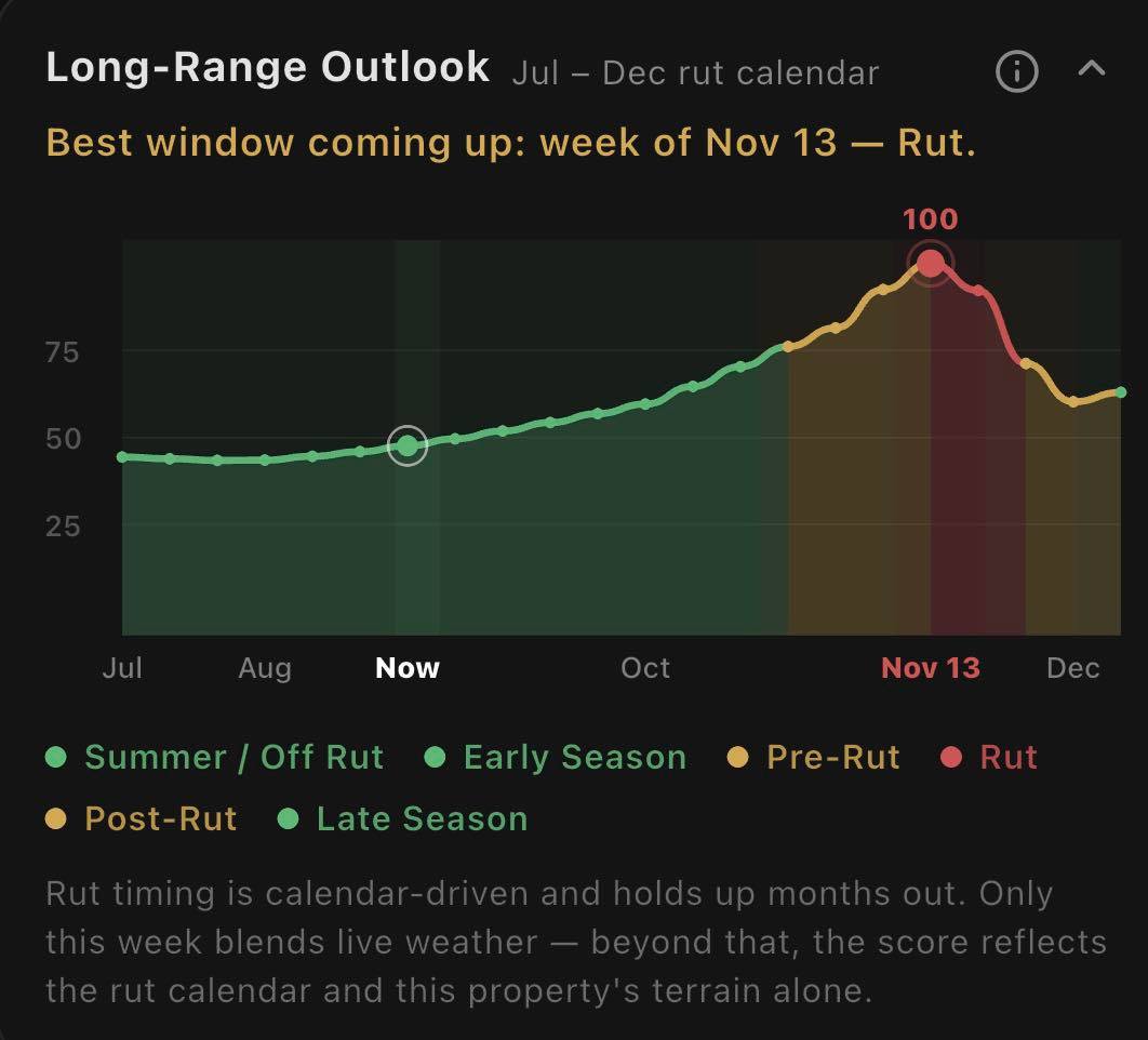
Built on your actual property, not a generic rut chart
HighTine
Predict it. Hunt it. Tag it.
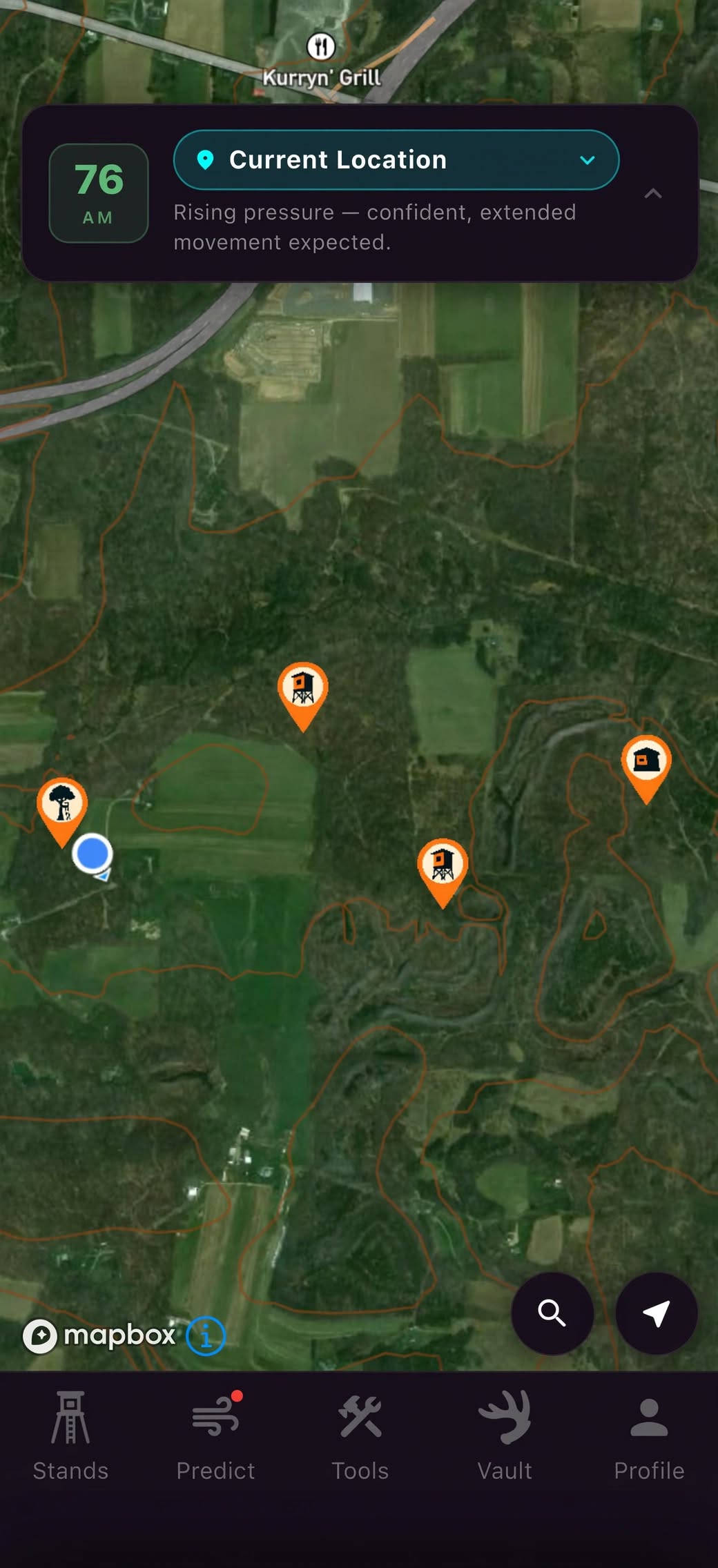
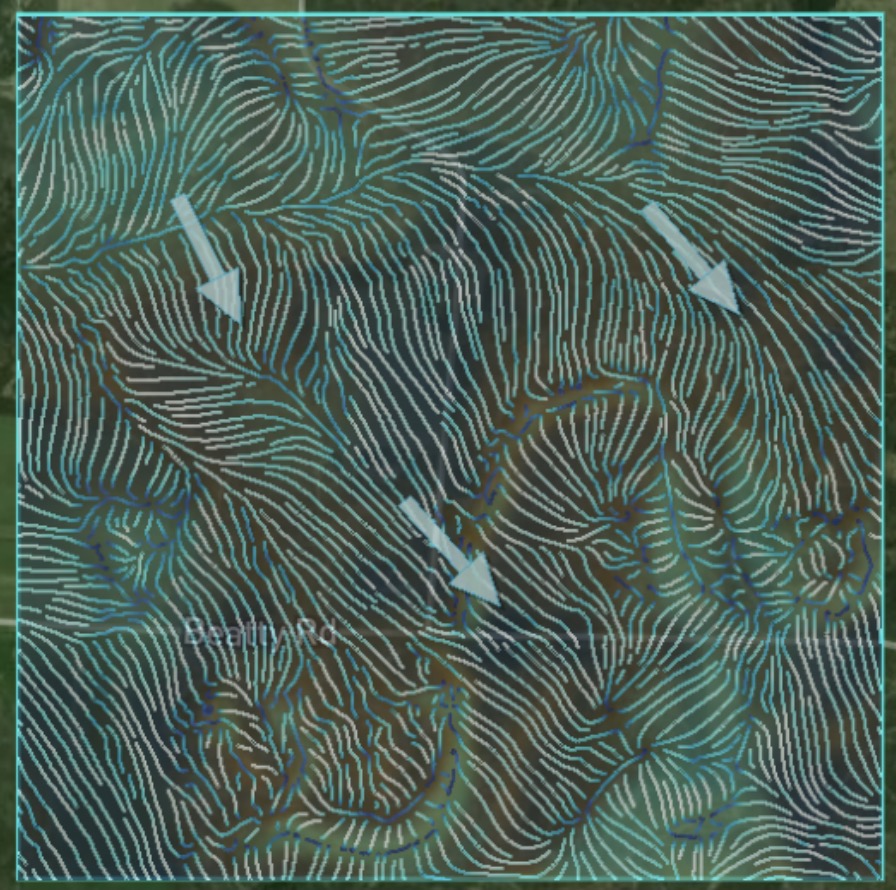
Most hunting apps hand every user the same satellite photo and the same moon-phase widget and call it intelligence. HighTine reads the real elevation, canopy, and land cover on the property you actually hunt and runs it through terrain-analysis science grounded in published whitetail research.
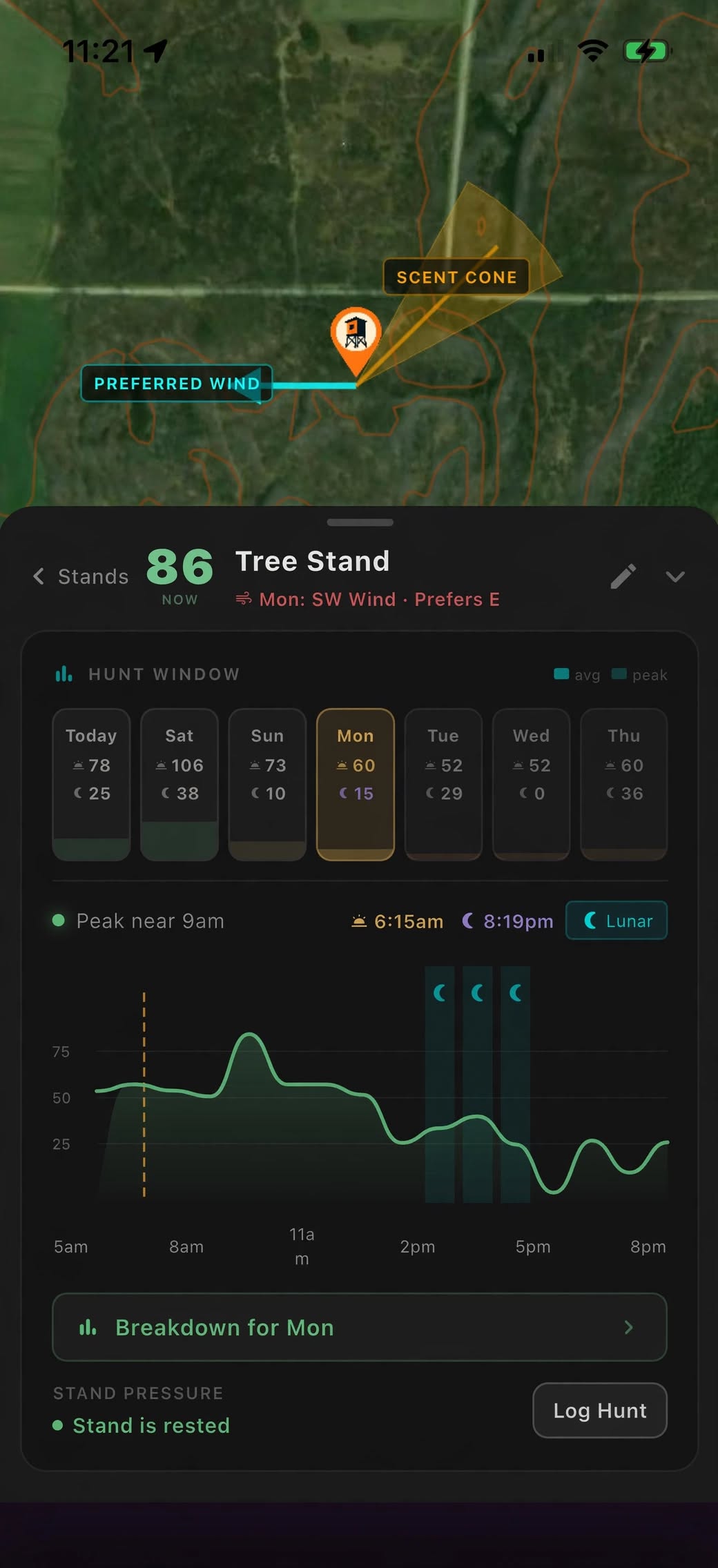
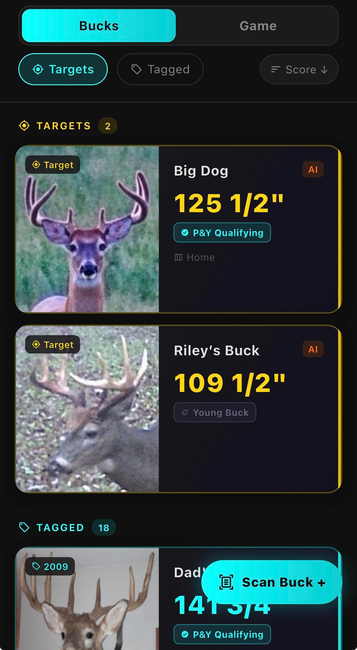
Five Predict models. A stand score that shows its work. A real day-to-day movement score. A buck-tracking system that projects real antler growth year over year, so you know when to let him walk. No guessing games — every model here is grounded in real terrain data and real math, and the actual formulas are one click away if you want to go deeper than marketing copy.
5 terrain models
Real elevation + canopy + land cover
Zero machine learning in Predict — by design
Track target bucks year over year
 Download on the App Store